Loading map...
Know Your DIGIPINDigital Postal Index Number
Find your DIGIPIN instantly! India Post's standardized Digital Postal Index Number system converts any location into a simple 10-character code. Know your DIGIPIN, generate DIGIPIN codes, and find precise locations across India.
What is DIGIPIN? DIGIPIN (Digital Postal Index Number) is India Post's revolutionary geocoding system that provides precise identification for every 4m×4m area across India.
How to find DIGIPIN: Use our interactive map to generate DIGIPIN codes, decode existing DIGIPIN to locations, or auto-detect your current location's DIGIPIN.
Generate DIGIPIN Code
Interactive DIGIPIN Map
Click anywhere on the map to instantly know your DIGIPIN for that location. Search for places, auto-detect your current position, and generate DIGIPIN codes with our interactive India Post DIGIPIN locator tool.
What is DIGIPIN - How it Works
DIGIPIN (Digital Postal Index Number) is India Post's revolutionary system that divides India into uniform 4m×4m grid cells, each with a unique 10-character code. Learn how to find your DIGIPIN and understand the DIGIPIN full form.
1
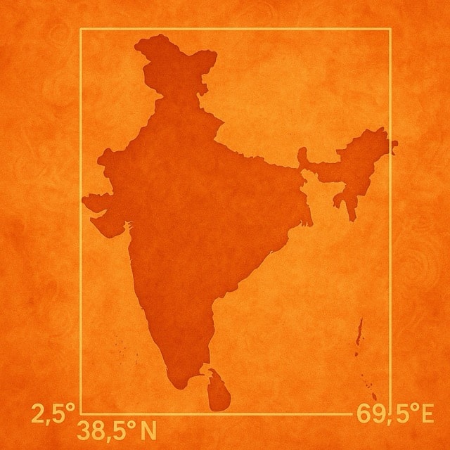
Bounding Box
India's territory is bounded within coordinates 2.5°-38.5°N latitude and 63.5°-99.5°E longitude.
2
Hierarchical Grids
The bounding box is divided into 16 regions, each further divided into 16 sub-regions, continuing for 10 levels.
2
3
4
5
6
7
8
9
C
F
J
K
L
M
P
T
3
Code Structure
Each DIGIPIN is a 10-character code using 16 specific symbols: 2-9, C, F, J, K, L, M, P, and T, formatted as XXX-YYY-ZZZZ.
39J
-49L
-L8T4
4
Precision Levels
Each character adds precision. A complete 10-character DIGIPIN identifies a 3.8m×3.8m grid cell.
1 character:~1000 km
6 characters:~1 km
8 characters:~60 m
10 characters:~3.8 m
DIGIPIN Applications & Uses
Discover the wide range of applications for India Post's DIGIPIN system. From precise delivery addresses to emergency services, DIGIPIN revolutionizes location identification across India.
Postal & Delivery Services
Enable precise delivery to any location with DIGIPIN codes. Perfect for areas without traditional addresses.
Emergency Services
Quick location identification for ambulance, fire, and police services using DIGIPIN for faster response times.
E-commerce & Logistics
Streamline online deliveries with standardized DIGIPIN addresses for accurate last-mile delivery.